
Namibia · Southern Africa
The Caprivi and the Zambezi Region.
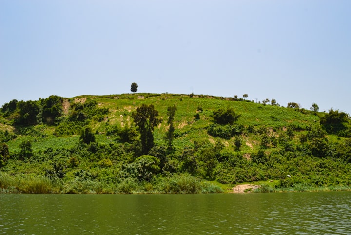
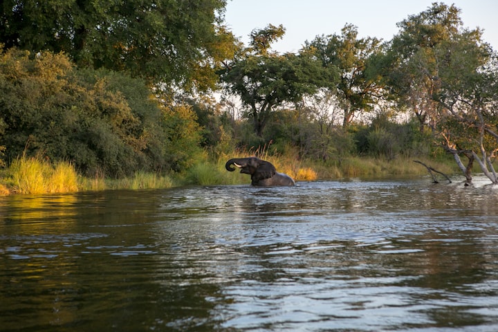
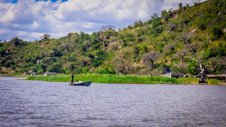
The narrow strip in the far north-east is green, riverine and completely unlike the rest of the country.
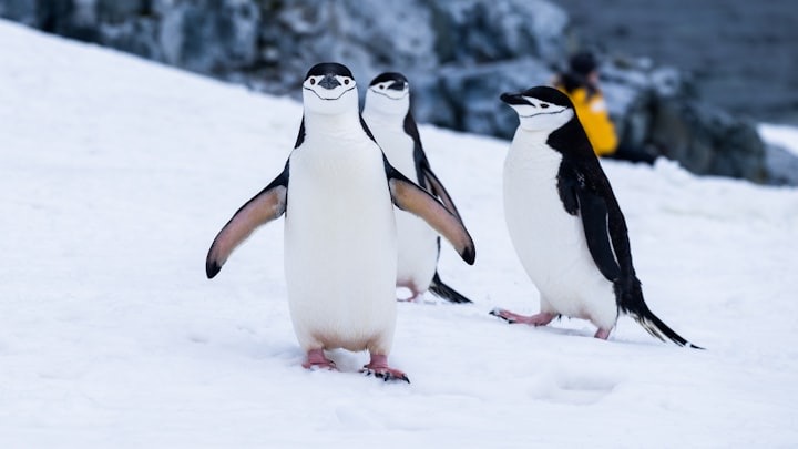
Photo Joe McDaniel / Unsplash
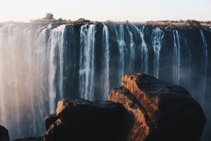
The Zambezi Region — long called the Caprivi Strip — carries four rivers and links Namibia to Botswana, Zambia and Zimbabwe. It is used as a corridor towards Victoria Falls and as a destination in its own right for birding and river game.
How do you get to the Zambezi Region (Caprivi Strip)?
Katima Mulilo, the region's main town, has an airport with flights from Windhoek. By road, the region connects to Kasane in Botswana and to Livingstone in Zambia through nearby border posts, which is why it is so often crossed on the way to Chobe or Victoria Falls.
Why was the Caprivi Strip renamed?
It was renamed the Zambezi Region in 2013, after the river that forms part of its northern border. Caprivi, after the German chancellor Leo von Caprivi, is still widely used.
Which national parks are in the Zambezi Region?
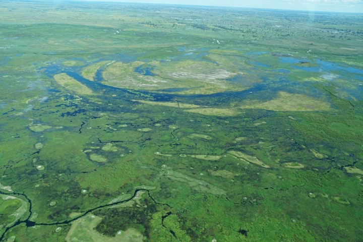
Bwabwata National Park in the west, which includes the Mahango area beside the Okavango River, and Mudumu and Nkasa Rupara national parks in the east, beside the Kwando and Linyanti. Nkasa Rupara is a wetland of channels and floodplain that can become an island system when the rivers are high.
What is the Zambezi Region known for?
Water and birds. Four rivers, the Okavango, Kwando, Linyanti and Zambezi, run through or along the region, and its floodplains and riverine forest hold some of the richest birding in southern Africa, alongside elephant, buffalo, hippo and wetland antelope such as red lechwe and sitatunga.
How long should you spend in the Zambezi Region?
Two or three nights on one of the rivers. It is used to link the Okavango Delta, Chobe and Victoria Falls, or as the green end of a Namibian route after Etosha.
What is there to see in the Caprivi and the Zambezi Region?
What does the Caprivi and the Zambezi Region pair well with?
- Chobe and the Linyanti, BotswanaChobe holds one of the largest elephant populations in Africa, concentrated along its river frontage in the dry months.
- The Okavango Delta, BotswanaThe Okavango is an inland delta that never reaches the sea, and the flood arrives in the dry season rather than the wet one.
- Victoria Falls and Livingstone, ZambiaThe Zambian side of Victoria Falls gives the closest, wettest views, and Livingstone is the town that serves it.
- EtoshaEtosha is Namibia's principal game park, built around a salt pan so large it is visible from space.
Planning
Elsewhere in Namibia
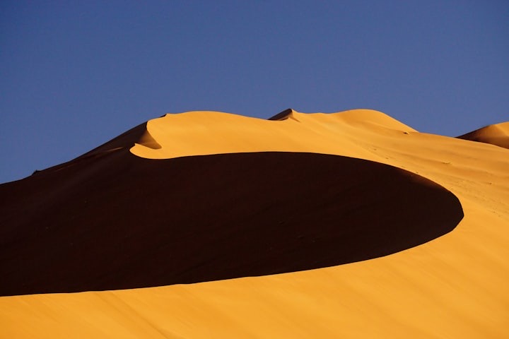
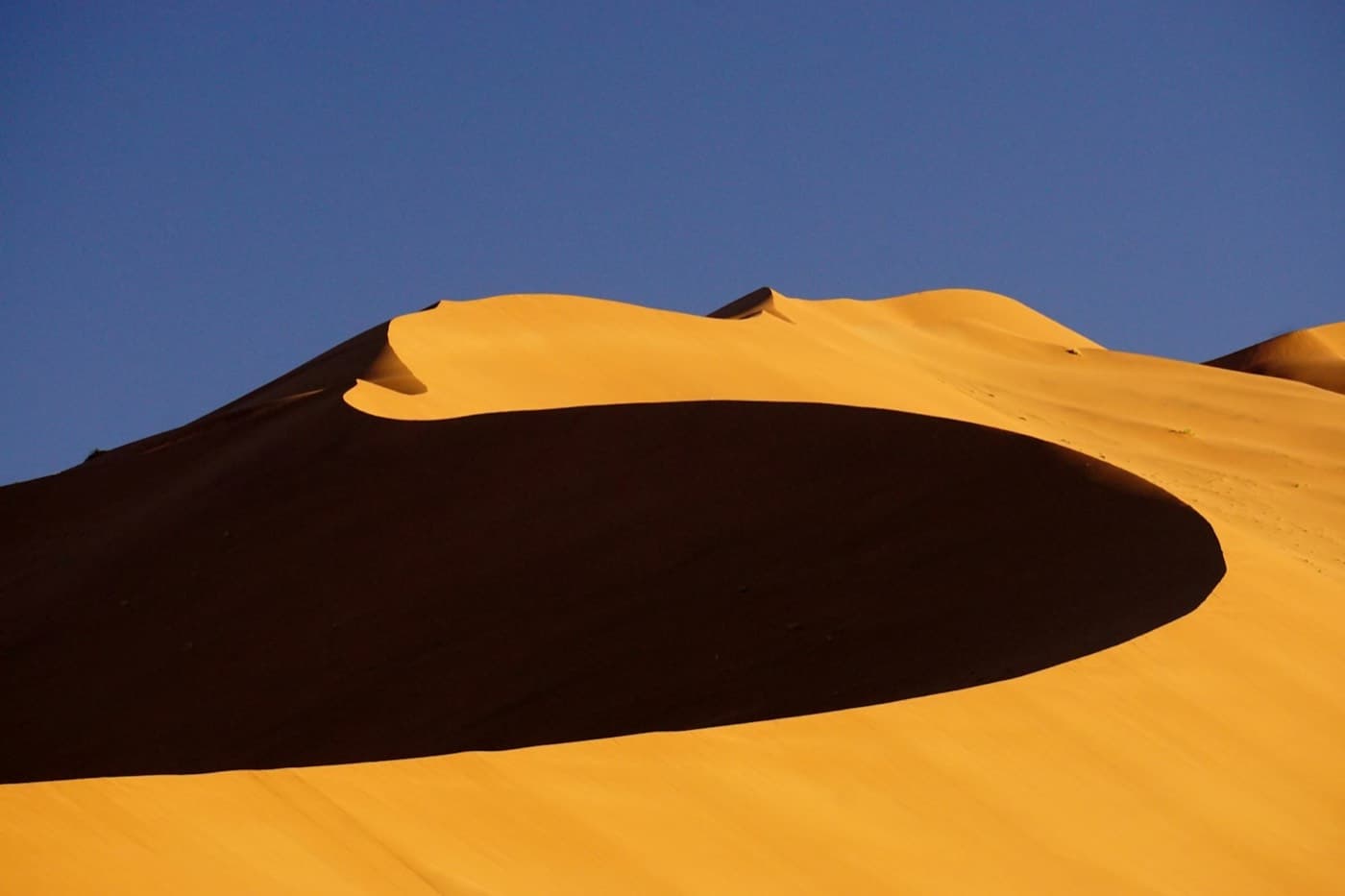
- Sossusvlei and the NamibSossusvlei's red dunes are the image of Namibia, and Deadvlei's dead camel-thorn trees on a white clay pan are the most photographed thing in the country.
- The Skeleton Coast and DamaralandThe Skeleton Coast is where the desert meets a cold Atlantic, and Damaraland inland holds desert-adapted elephant and ancient rock art.
- Swakopmund and the coastSwakopmund is a German colonial seaside town between the desert and the Atlantic, and the base for the country's adventure activities.
Start planning your adventure